|
|
|
|
|
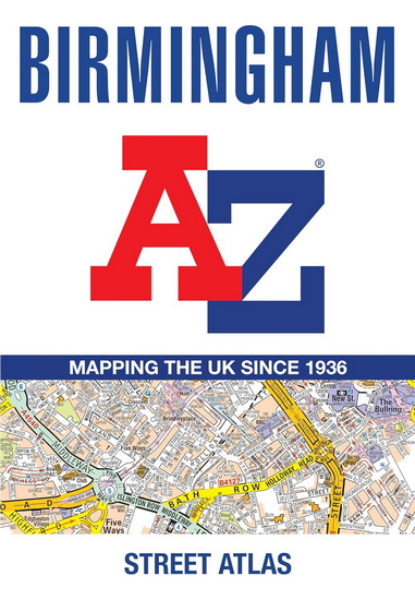
Birmingham A-Z Street Atlas
COLLECTIF
|
|
|
EN SAVOIR PLUS
Résumé
Navigate your way around Birmingham with this detailed and easy-to-use A-Z Street Atlas.
Printed in full-colour, paperback format, this atlas contains 96 pages of continuous street mapping.
Coverage extends to include: Wednesbury, Coleshill, Knowle, Alvechurch, Rubery, Smethick, and West Bromwich.
There are large scale city centre maps of Birmingham and Wolverhampton and a West Midlands rail and Midland Metro transport connections map.
Postcode districts and one-way streets are featured on the mapping.
The index section lists streets; selected flats, walkways and places of interest; place and area names; National Rail and Midland Metro stations; hospitals, NHS Walk-in Centres and hospices.
Détails
|
Prix :
|
17,99 $
|
|
Catégorie :
|
|
|
Auteur :
|
COLLECTIF
|
|
Titre :
|
Birmingham A-Z Street Atlas
|
|
Date de parution :
|
23 avril 2026
|
|
|
|
|
|
Éditeur :
|
HARPER COLLINS
|
|
|
|
|
|
Sujet :
|
ATLAS
|
|
ISBN :
|
9780008780739 (00087807311)
|
|
Référence Renaud-Bray :
|
22190538
|
|
|
|
No de produit :
|
4575782
|
Birmingham A-Z Street Atlas
,
COLLECTIF
©
HARPER COLLINS
2026
|
|
1449 article(s) au panier.
Renaud-Bray vous offre
les frais de livraison *
|